
Hydrology
We deliver end-to-end water-engineering intelligence – from coastal HTL/HFL demarcation and dam-break simulation to bridge-specific design-flood studies and urban flood-line mapping – helping owners take safe, climate-resilient decisions.
Maharashtra Coastline HTL/HFL Survey (≈ 720 km) – LiDAR-enabled shoreline mapping, tide-gauge calibration and CRZ flood-line charts.
Client – MMRDA / GoM Coastal Zone AuthorityWestern Ghats Dam-Catchment Mapping (Lonavala, Walvan, Shirota, Somvadi, Thokarwadi, Mulshi) – 3-D terrain model, hydrologic parameters and breach-scenario inputs for six reservoirs.
Client – Water Resources Dept., Maharashtra330 MW Alaknanda Hydro-Electric Project, Srinagar – Reservoir contouring, upstream–downstream cross-sections, design-discharge and boundary-pillar fixing.
Client – DNHPCBhusawal–Badnera–Wardha 4-Line (DFCC) – DEM-based catchment delineation and Q₅₀ / scour computations for 314 bridge sites.
Client – Indian Railways / DFCCILPort Rail ROB LC-236B, Gandhidham – Peak-flow, drainage and waterway sizing for a strategic port over-bridge.
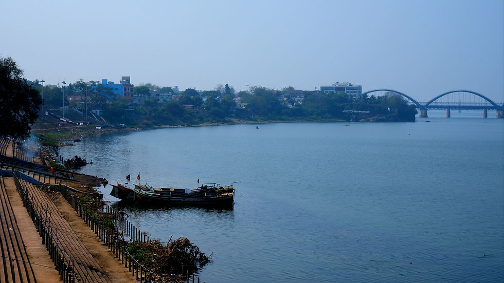
Client – IPRCLRed & Blue Flood-Line Mapping, Pune Metropolitan Region (≈ 6,800 ha) – 1 : 1,000 LiDAR base map, DEM & hydrologic model for urban-flood governance.
Client – PMRDARevas-Reddi Coastal Highway – Hydrodynamic, drainage-outfall and high-flood-line study for 45 km tourism corridor.
Client – MSRDCPune–Nashik Industrial Rail Line – Design-flood & waterway adequacy checks for 175 bridges using GIS-DEM workflow.
Client – MRIDCNagpur City Flood-Risk Base Map – LiDAR + photogrammetry for contour, drainage and land-record integration; supports Smart-City flood mitigation.
Client – Nagpur Smart & Clean City SPVState-wide Dam Breach & Emergency Action Plans (25 + earthen dams) – Hydrologic routing, downstream inundation maps and evacuation-time curves.
Client – State Irrigation Dept.