
Forest Diversion Services
Securing forest clearance is often the last—and toughest—regulatory step before construction can start. Monarch offers specialized GIS-based forest diversion services to support infrastructure and development projects that require the use of forest land, ensuring full compliance with the Forest (Conservation) Act, 1980 and related regulations.
We handle the organization of forest patches, prepare diversion proposals on PARIVESH, geo-reference boundaries, identify compensatory afforestation land, and facilitate file processing through DFO, CCF, State Nodal, and MoEFCC desks. With our support, projects obtain Stage-I and Stage-II approvals, High Court permissions (where required), and working licenses without costly resubmissions.
We create GIS based solutions and datasets essential for accurately mapping and reporting for diversion and afforestation.
Our services include:
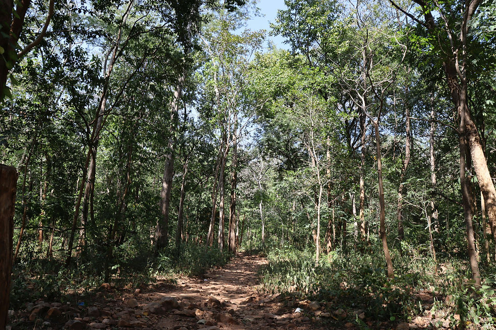
Identification of forest land and classification using satellite imagery, cadastral maps, and field surveys
Preparation of Forest Diversion Proposals (FDP), including Form A/B applications on the Parivesh portal
Preparation of geo-referenced maps, kml/kmz files, and DGPS surveys
Coordination with forest departments for site inspections, tree enumeration, and compliance reports
Assistance in obtaining approvals from State and Central Authorities, including the MoEFCC
Mitigation planning, including Compensatory Afforestation (CA) and Environmental Management Plans (EMP)
Where our work adds value:
New Rail & Road Lines – alignments crossing reserve forests or wildlife corridors
Coastal & Sea-Link Projects – mangrove removal, CRZ forest overlap clearances
Transmission Lines & Pipelines – tower or ROW footprints in protected zones
Hydro & Irrigation Schemes – reservoir submergence and spoil-dump areas
Mining & Industrial Expansions – lease renewals, additional overburden dumps
How we deliver our Services:
Identification of forest land and classification using satellite imagery, cadastral maps, and field surveys
Preparation of Forest Diversion Proposals (FDP), including Form A/B applications on the Parivesh portal
Preparation of geo-referenced maps, kml/kmz files, and DGPS surveys
Coordination with forest departments for site inspections, tree enumeration, and compliance reports
Assistance in obtaining approvals from State and Central Authorities, including the MoEFCC
Mitigation planning, including Compensatory Afforestation (CA) and Environmental Management Plans (EMP)
We streamline the forest clearance process with accurate documentation, technical support, and stakeholder coordination ensuring regulatory compliance and timely project execution.
Why Monarch has the edge:
All survey, GIS, and legal drafting is handled in-house. This means design tweaks update FCA maps and CA schedules on the same day. Our dedicated liaison cell in Mumbai and Delhi tracks files daily, cutting the average Stage-I clearance time to eight months well below the national mean. For example, our proposal on the Wardha–Katol rail line sailed through without a single query from MoEFCC, thanks to pre-emptive gap checks.
Representative projects:
Wardha – Katol New BG Line (Central Railway) – forest land identification, DGPS survey, Form-A preparation and full clearance for 87 km; Stage-II approval costed and sanctioned .
Versova–Bandra Sea Link & Connector (MSRDC/APCO) – mangrove diversion proposal, CA plan and High-Court affidavit delivering forest, CRZ and EC clearances on a single workflow .
Monarch’s Forest Diversion Services clear the green path so railways, highways and coastal links can move from design room to job site without ecological or legal roadblocks.